©Thornton Action Group.
Two walks, given in full from a leaflet from about the mid 1990s called Thornton Village Trail, published by the Thornton Action Partnership which no longer exists. It acknowledges The Brontë Way Guidebook by Marje Wilson. Tje instructions and map are ©Thornton Action Group. The information and photographs, which may be used for non-commercial purposes, is © Clive Richardson 2024.
From the Brontë Birthplace to Upper Headley and back via Gill Lane and Alderscholes Lane. It was devised as a walk before the development of the footpath and bridle way over Thornton Viaduct, which could be an alternative way of getting to Upper Headley. See the hatched line with arrows. About 1 mile.

- Facing the Brontë Birthplace turn left on Market Street, which bends slightly left to Kipping Lane to cross the main road. (You pass by Rose Cottage, now a Residential Care Home, but originally the home of Jonas Craven who with Henry Harrop founded Harrop and Craven, textile manufacturers. Next to Rose Cottage towards the post office is a 3 storey building, built for Jonas Craven in the 1820s as a warehouse.)
- Cross the main road and go past Kipping Barn (now converted to a dwelling), and past Kipping House, no. 1 Lower Kipping Lane, which was the home of Elizabeth Firth who became the Godmother of Anne Brontë. Prior to that, together with Kipping Barn, it was where non-conformists worshipped, until greater religious freedom allowed the building of Kipping Chapel on Market Street, originally in 1769.
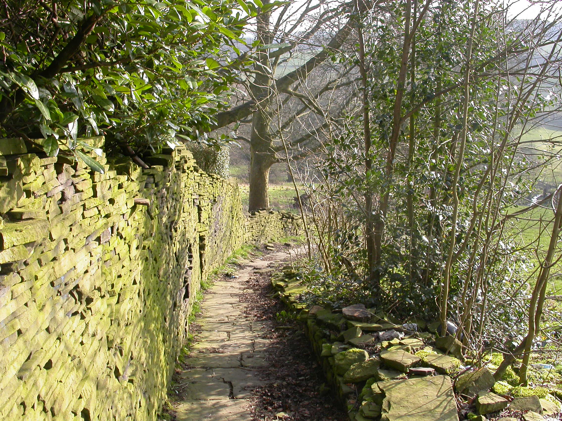
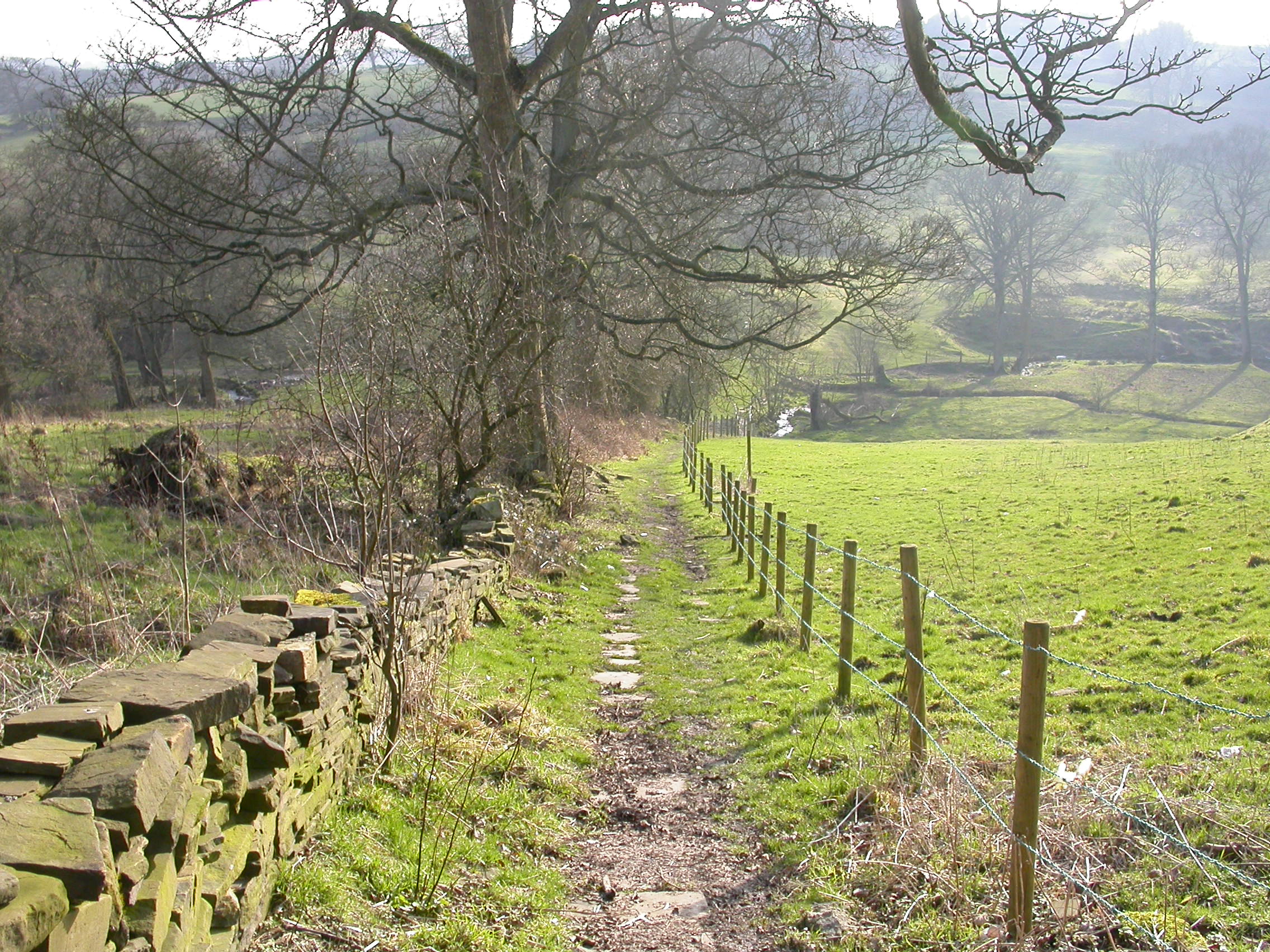
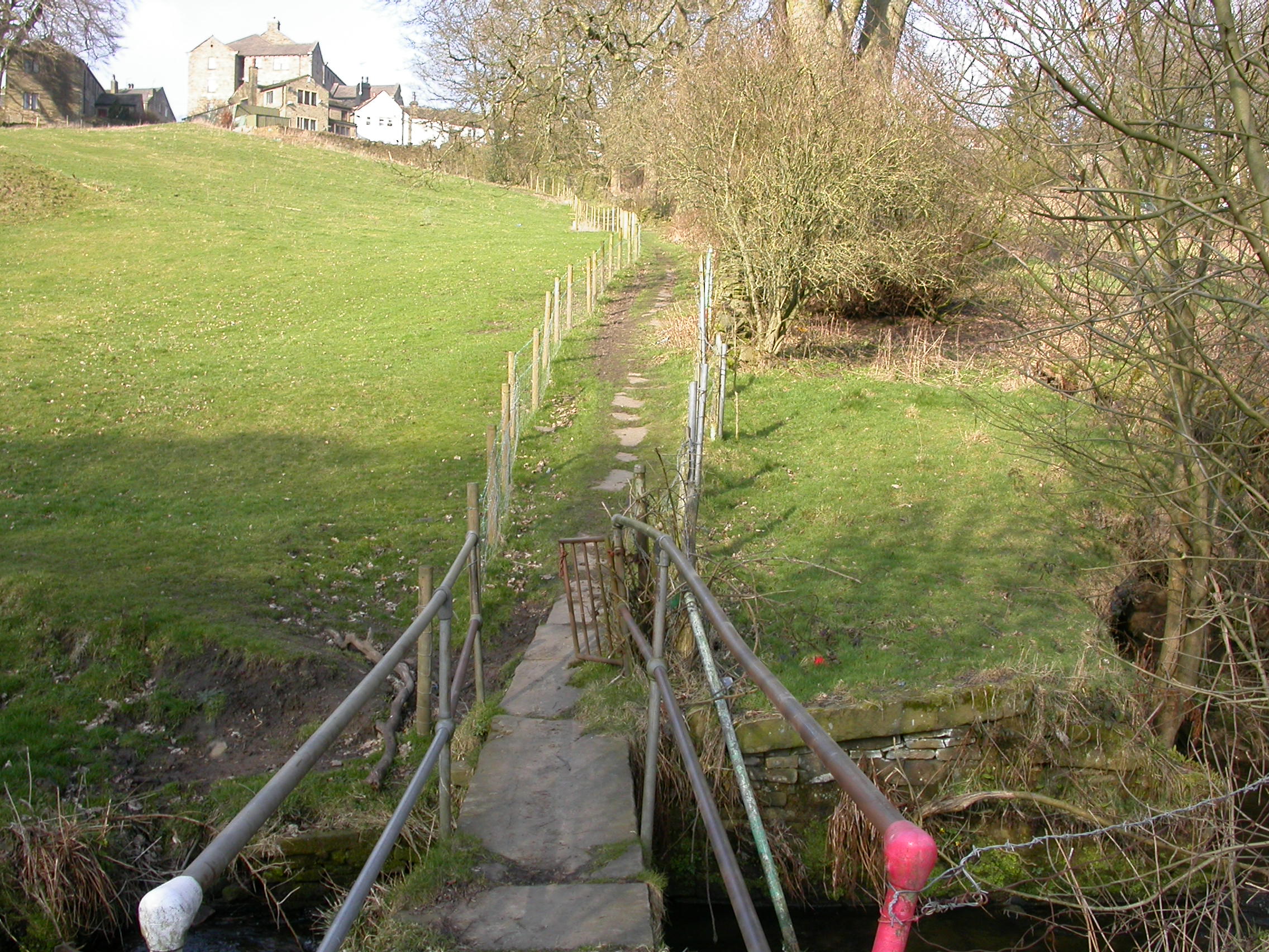
- Go down Lower Kipping Lane to a ginnel or snicket between no.7 and no.9. The downhill stone-paved path leads to a metal gate and stone bridge across Pinch Beck. See below for photos of that footpath, (the top 3 photos.).
- The Headley Golf Course notice¹ requests walkers to follow the white stakes on the uphill, partly paved, path straight ahead to the old ash tree. ¹The last time I walked down the footpath and over the bridge, some years ago, I cannot remember seeing any notice, or I wasn’t looking.
- The path turns left alongside the disused railway line (now Sustrans path from the Viaduct), through two “domino” stones, and out onto the metal road, Headley Lane.
- Turn right to walk on the lane uphill and pass on the right Upper Headley Hall (1589) then Headley Golf Clubhouse (now known as the Headley Venue). Continue to the junction with Pit Lane and Malt Kiln Lane.
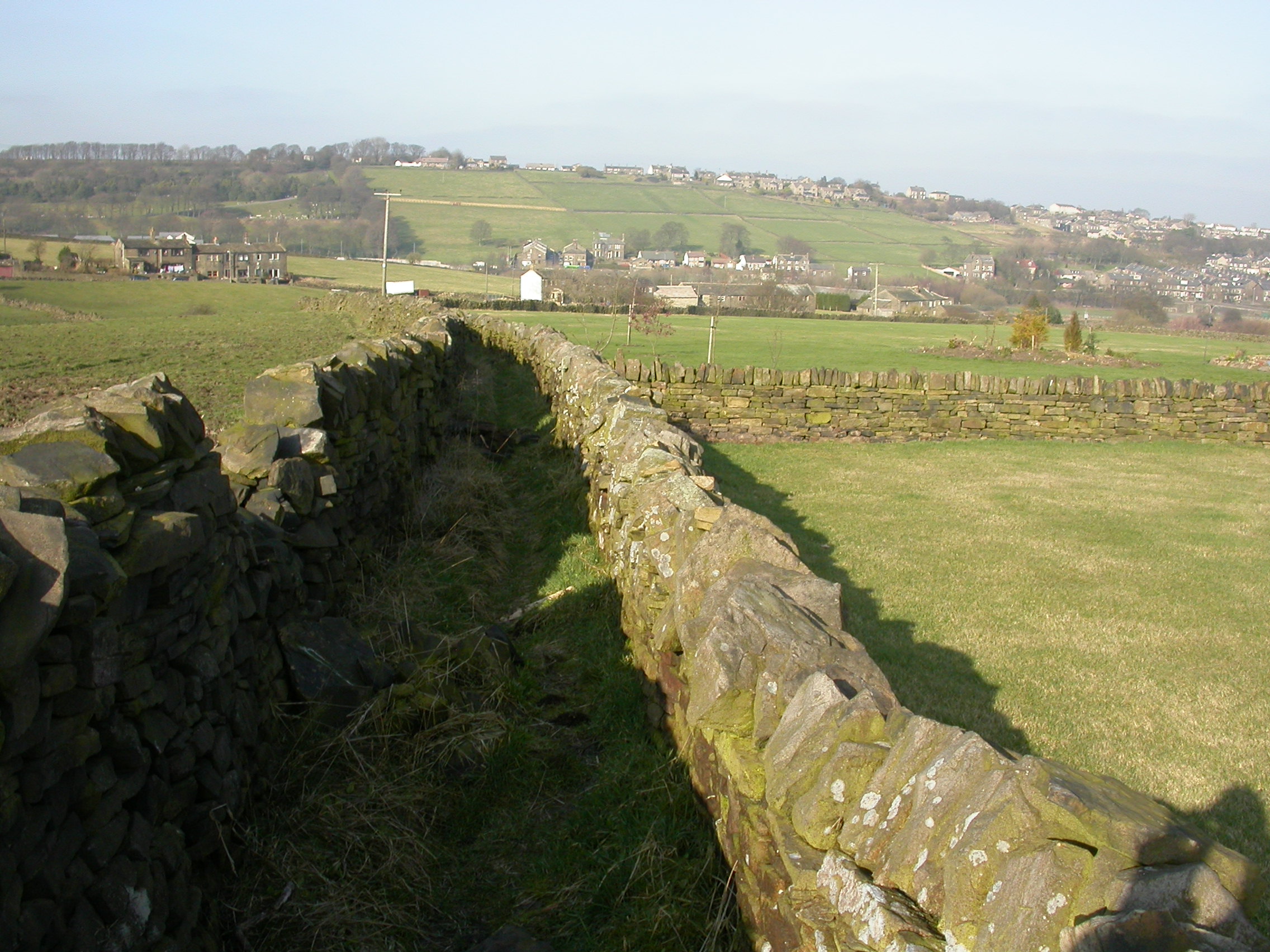
- Turn into Malt Kiln Lane, keeping on the right-hand side of the lane alongside the golf course to Gill Lane, which is an un-named track between two field walls. This path widens into a blackberry lane. (A photo of Gill Lane is below the 3 photographs of the footpath to Bent Ing.)
- Over the wooden stile, turn right to take a diagonally down-hill direction towards the viaduct, through a broken wall, keeping topside of some gorse bushes to another wooden stile in the bottom corner. Turn immediately left, through a metal post stile onto the metal road at Pinch Beck Cottages. Turn right up Alderscholes Lane and Lower Kipping Lane back to the village.
A walk from St James Church, via a short section of the Brontë Way, to Green Lane and back to the Church – the dotted line with arrows. About 1 mile.
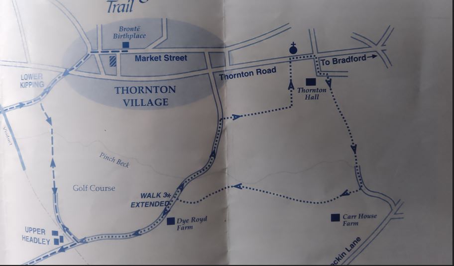
- Start at the entrance to St. James Church, Thornton Road, facing the fields opposite. Cross the road, and, with care, walk away from the fields, along the side of the Bell Chapel Churchyard, and burial ground, which has been restored by local volunteers. Continue along the wall until you come to an unmade road. (An alternative, and probably safer, route, is while facing the fields and the Bell Chapel Churchyard, to turn left and stay on the pavement on the same side of the road as the current St. James Church, until you get to a road, Coach Lane. Cross the main road at this point. You can see the Bell Chapel churchyard at the end of the walk.
- Near the junction of the main Thornton Road and Coach Lane is the former electricity sub-station which provided electricity for trams and trolley buses. It was converted to a dwelling many years ago. Walk down the unmade road, the lower part of Coach Lane.
- Go through a metal kissing gate to the left of Thornton Hall’s gates, and downfield to a stile in the wall. A stile in the diagonally left corner leads into a lane and through another stile. Pass Corn Mill yard on the left, and as the lane bends left take a stile on the right by a metal gate leading into a field.
- Walk straight ahead with a tree line on the left to pass through two more stiles. Be aware of boggy ground and follow the wall to the left, and over a wooden stile in a fence. Continue slightly left along the wall to go through a narrow stone stile, and turn right to walk down between a double-walled footpath leading on to a metal road via some stone steps known locally as the Cat Steps.***
- Turn right to walk up Green Lane and opposite the cottage numbered 20 turn right through a stile. Continue straight ahead through another stile, and at the end of the stone wall on your left, turn left, uphill, along the Old Bell Chapel cemetery to a gap stile into Thornton Road, and back to the start.

***From where it states on the map “Walk 3 extended”, at the point shown instead of turning right up Green Lane, turn left, walking to the bottom of Green Lane which runs into Headley Lane. Walk up the hill past Dye Royd, and Lower Headley to the path over the Viaduct, or past domino stones and across the golf course to Lower Kipping Lane.
Alternatively join the two walks together by walking all the way from Green Lane to Malt Kiln Lane and then go down Gill Lane.
Note: The cross hatched oblong, shown on the map, on Ball Street was a free parking area when the land was owned by the previous owner. The parking plots are rented by residents and cannot be used as free parking.
(Updated 26 August 2024)
